What's new July 2022
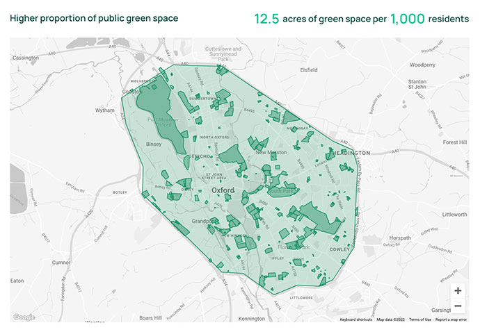
Introducing Green Space data
This month we're introducing a new data set covering public green space in all of Mainland Britain.

This data is now available for you to use in three ways on PropertyData:
- In Local Data to analyse the proportion of public green space in an area, and whether it's above or below the national average
- In Postcode Data to compare and filter postcode districts by proportion of green space
- In Sourcing to identify on-market opportunities that are near public green space (as ever, this can be combined with other attributes, e.g. near a good school and green space)
Feature ideas? Questions? Don't hesitate to contact us.
Best wishes,
The PropertyData team


