What's new November 2023
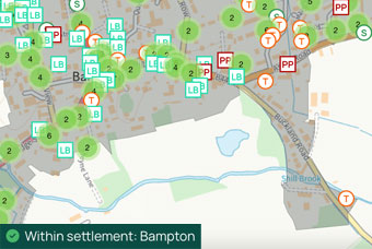
Settlement boundaries
We have added a new data set on Settlement Boundaries, covering all Local Authorities who use this concept.
In Plot Map you can now see whether a land title is inside or outside the Settlement Boundary, as well as view the outlines of the Settlement Boundary.
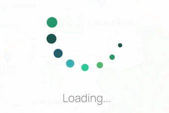
Faster loading times
Sometimes making existing features faster is more important than building new ones.
We'd noticed Local Data getting a little bit slow, and this month we've improved loading times on this tool by more than 50%.
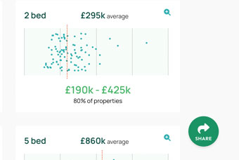
Share results
We've added a new Share function to Local Data, Plot Map, Valuations and Comparables.
This button allows you to share results of interest with anyone, even if they are not PropertyData subscribers.
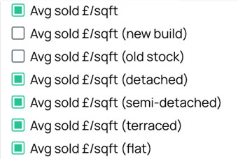
Postcode Data: New £/sqft columns
We've added columns on Postcode Data for £/sqft broken down by property type, so you can easily see which property types sell for what £/sqft in different postcode districts nationally.
Feature ideas? Questions? Don't hesitate to contact us.
Best wishes,
Michael
Founder
PropertyData