What's new September 2019

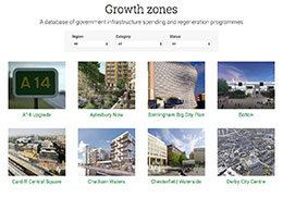
Growth Zones
Our new Growth Zones section is a database tracking government infrastructure spending and regeneration programmes around the UK. The Plot Map has been upgraded to show if your search is inside one of these growth zones, and integration with Local Data and Sourcing will follow soon.

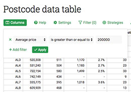
Enhanced filtering
We've released an upgraded version of our filtering system, found on the postcode table, sourcing lists, and other places throughout the site. It's easier than ever to filter data tables, and now you can save and restore common sets of filters too.

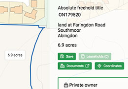
Download freehold boundary coordinates
You can now download the precise boundary coordinates of any freehold title in England & Wales - the official data, sourced directly from the Land Registry. Look for the new 'Coordinates' button in the Plot Map.
Feature ideas? Questions? Don't hesitate to contact us.
Best wishes,
The PropertyData team


